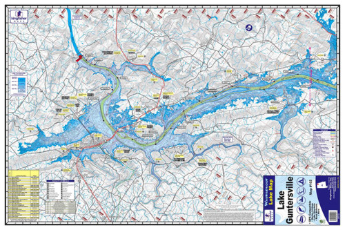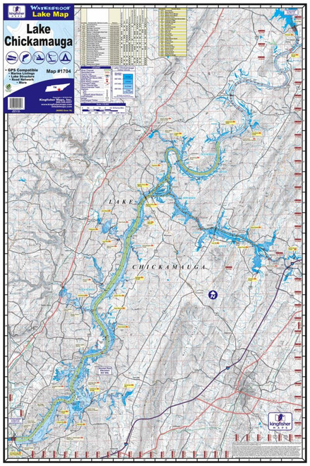


The Kingfisher Waterproof Map – Logan Martin Lake #108 gives anglers and boaters a detailed, easy-to-use reference for exploring Logan Martin Lake on the Coosa River in east-central Alabama. Designed for use on the water, the map is both waterproof and tear-resistant, making it a practical addition to the boat, tackle bag, or fishing trip planner.
This full-color map measures 24" x 36" and features detailed depth information with 20-foot contour intervals. It also identifies important underwater and shoreline features including river channels, creek beds, roadbeds, access areas, boat ramps, campgrounds, marinas, and local points of interest.
GPS points are included to help anglers identify and return to key locations. Whether you're bass fishing, crappie fishing, boating, or simply learning Logan Martin Lake, this map provides a convenient big-picture view of the lake's structure and access areas.
Features:
- Detailed map of Logan Martin Lake, Alabama
- Kingfisher Map #108
- Waterproof construction
- Tear-resistant material
- Full-color printing
- 24" x 36" unfolded size
- One-sided map
- Detailed depth information
- 20-foot contour intervals
- GPS points
- River channel and creek beds
- Submerged roadbeds
- Boat ramps and access areas
- Campgrounds and marinas
- Local points of interest
- Excellent for fishing, boating, and trip planning