
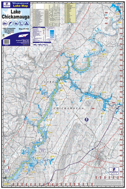
The Kingfisher Waterproof Lake Map – Lake Chickamauga, Tennessee gives anglers a convenient, durable reference for learning and navigating one of Tennessee’s most popular fishing destinations. Designed with detailed topographic and depth information, the map helps anglers identify channels, points, flats, creek arms, drop-offs, and other potentially productive fishing areas.
Printed on waterproof material, this map is made for use in the boat where ordinary paper maps can quickly become damaged. The Lake Chickamauga edition measures approximately 24" x 36" when opened and folds down to a compact 6" x 9", making it easy to store in a tackle bag, glove box, or boat compartment.
In addition to lake contours, the map identifies useful access and recreational information including boat ramps, marinas, campgrounds, and other points of interest. With a 1:72,000 scale and 7-foot contour intervals, it's a useful tool for both fishing-trip planning and on-the-water reference.
Features:
- Detailed map of Lake Chickamauga, Tennessee
- Waterproof construction for dependable boat use
- Topographic lake and depth information
- 7-foot contour intervals
- 1:72,000 scale
- Shows boat ramps, marinas, campgrounds, and other points of interest
- Helps identify channels, points, flats, creek arms, and depth changes
- Approximately 24" x 36" unfolded
- Folds to approximately 6" x 9"
- One-sided print
- Full-color design
- Compact and easy to store
- Great for anglers, boaters, and outdoor recreation