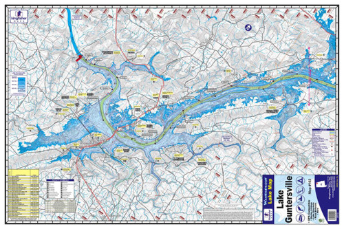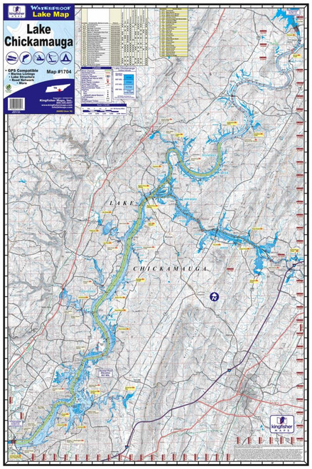


The Kingfisher Waterproof Map – Lewis Smith Lake #106 provides anglers and boaters with a detailed reference for navigating and exploring Lewis Smith Lake in northern Alabama. Built for use on the water, this map is both waterproof and tear-resistant, making it a durable addition to the boat, tackle bag, or fishing gear.
The map measures 24" x 36" and features a one-sided layout at a 1:50,000 scale. It provides useful information for anglers looking to better understand the lake, including lake structure, road networks, marina locations, and GPS-compatible information.
Whether you're planning a fishing trip, locating access points, studying unfamiliar areas of the lake, or simply keeping a dependable paper reference on board, the Kingfisher Lewis Smith Lake map is designed to provide useful information without worrying about ordinary exposure to water.
Features:
- Detailed map of Lewis Smith Lake, Alabama
- Kingfisher Map #106
- Waterproof and tear-resistant
- Measures 24" x 36"
- One-sided map
- 1:50,000 scale
- GPS compatible
- Shows lake structure
- Includes marina listings
- Displays surrounding road network
- Excellent for fishing, boating, trip planning, and lake navigation
- Durable construction for use on the water